INTRODUCTION
A Field Survey Setup (FSS) provides to have a shore based survey capability to undertake emergent requirement while economizing on survey costs. FSS aims at employment for smaller nature and geographically scattered survey tasks in areas approachable through land.
SURVEY CAPABILITIES
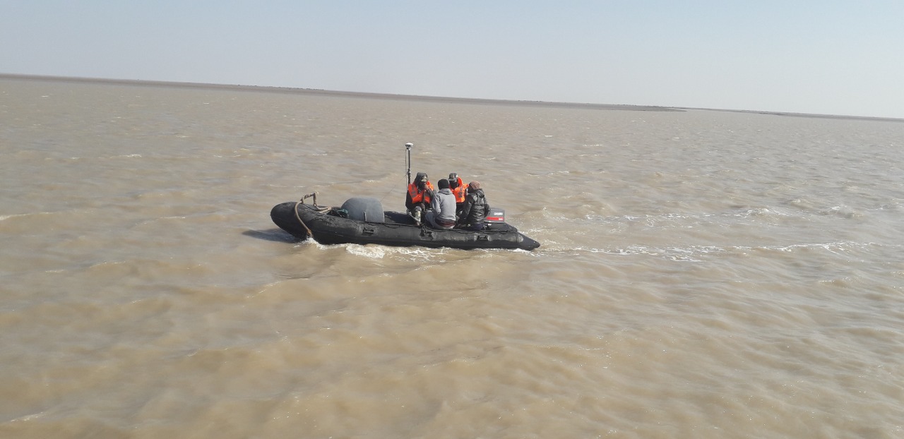
- Single beam and Multibeam bathymetry by Survey Motor Boats
- Side Scan Surveys in coastal area
- Coastal Sub Bottom Profiling surveys
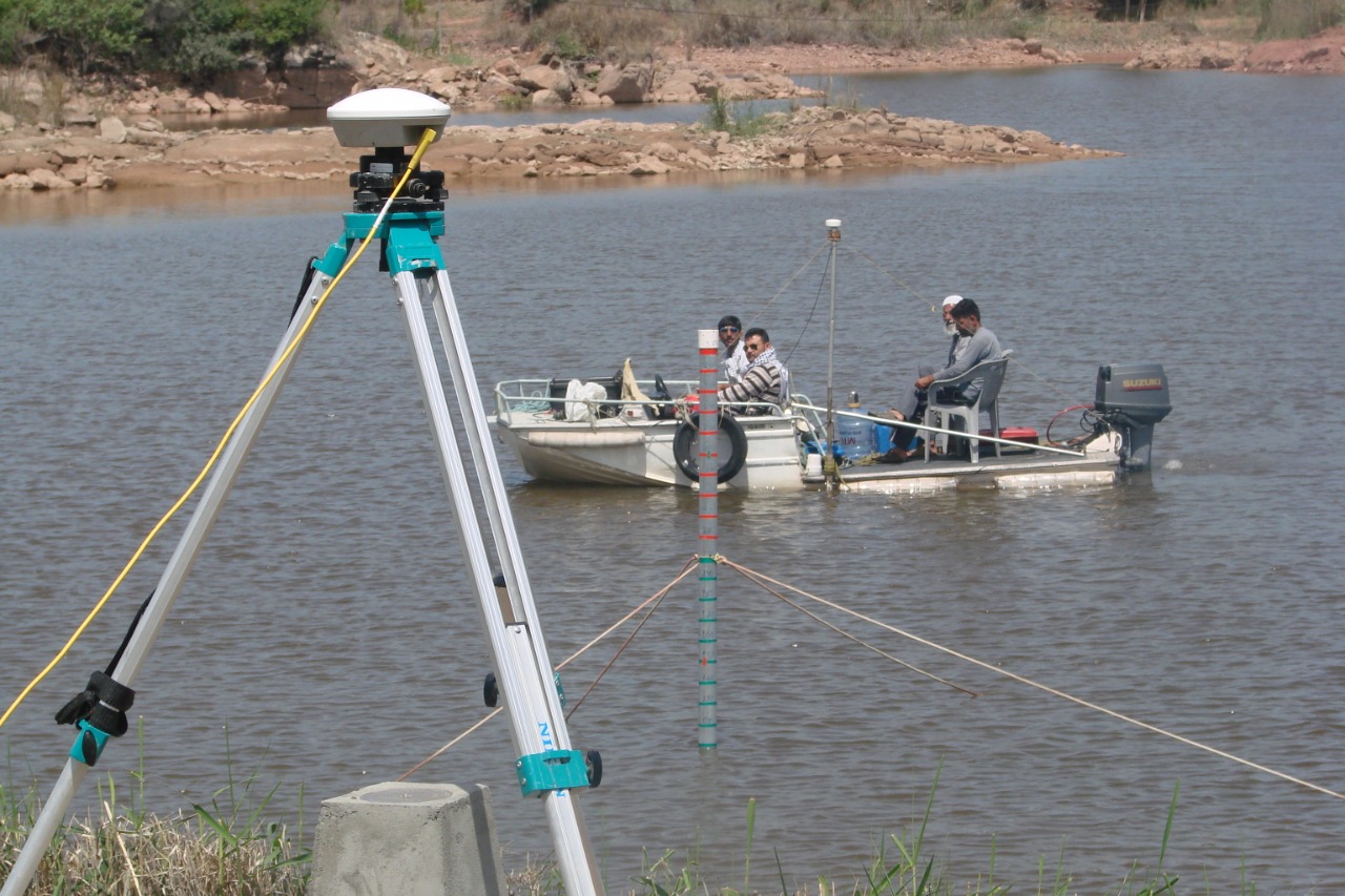
- GPS and Optical based coastal/land surveying
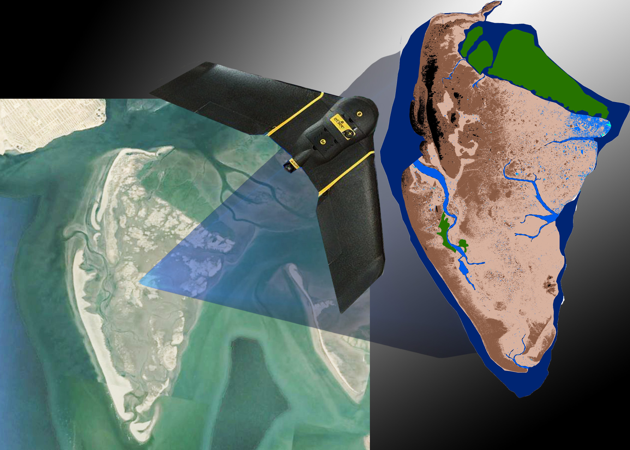
- Aerial Drone for topographic mapping
- Acoustic Doppler Current Profiling
- ROV fitted with high resolution underwater camera and other sensors
- Magnetic anomaly observations
- Sound Velocity measurements
- Sediment transport measurements and bottom sampling